 |
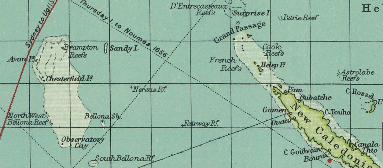
| Sandy Island on a British map, 1922. |
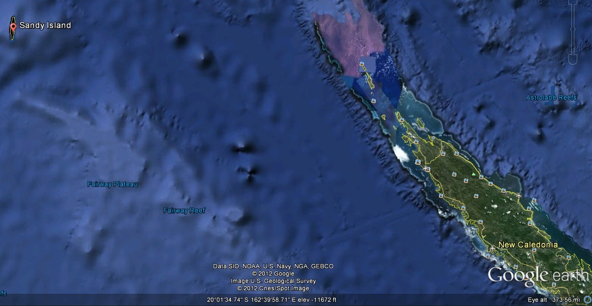 |
| Sandy Island on Google Earth, 2012. |
On November 22, 2012, an expedition of Australian scientists from the University of Sydney on the RV
Southern Surveyor, studying plate tectonics in the Coral Sea, noticed that some maps showed an isle named Sandy Island between French-governed New Caledonia and Australia while others did not. The expedition found no island at the location, though European maps dating back to
Captain Cook's 1774 expedition showed a "Sandy Island" or "Île de Sable" somewhere near New Caledonia. (Some maps showed two Sandy Islands.) The Australian expedition instead found 4,600 feet (1,400 meters) of ocean depth.

No comments:
Post a Comment