 |
| The "Great American Desert" notation of the Great Plains from Maj. Stephen Long's expedition. |
17 October 2014
SHD Members talk about Mapping the U.S.
A new issue of the SHD newsletter Terrae Cognita

The latest issue of the SHD newsletter Terrae Cognita has been published here. You'll find abstracts for the upcoming meeting in Austin, and other member news. Happy reading!
Uncovering Hidden Text on a 500-Year-Old Map That Guided Columbus
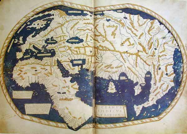 |
| World map of Henricus Martellus Germanus from 1489, currently at the British Library. |
Subscribe to:
Posts (Atom)