 |
| Map of the West Coast of Africa from Sierra Leone to Cape Palmas, including the colony of Liberia, 1830. |
18 June 2013
Defining Lines: Cartography in the Age of Empire — Duke University
09 June 2013
La Salle's Great Lakes Ship Found?
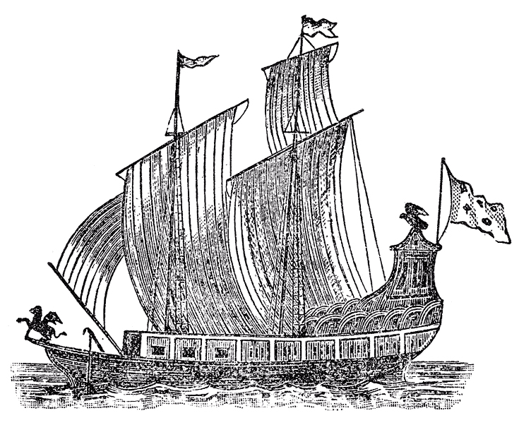 |
| Woodcut of La Salle's Le Griffon, lost on the Great Lakes in 1679. (From Father Louis Hennipin, Nouvelle Decouverte, Utrecht, 1697.) |
The Great Lakes Exploration Group is soon set to take French archaeologists to the floor of Lake Michigan to determine if the wreckage they have found are indeed the remains of Le Griffon, that disappeared, presumed sunk, in 1679. Le Griffon was built by order of the famed French explorer René-Robert Cavelier, Sieur de La Salle.
- "Shipwreck explorers set to unravel Great Lakes mystery," UpNorthLive.com, by Nathan Edwards
- "Expedition team set to identify wreck," video from UpNorthLive.com
- Great Lakes Exploration group
Subscribe to:
Posts (Atom)